


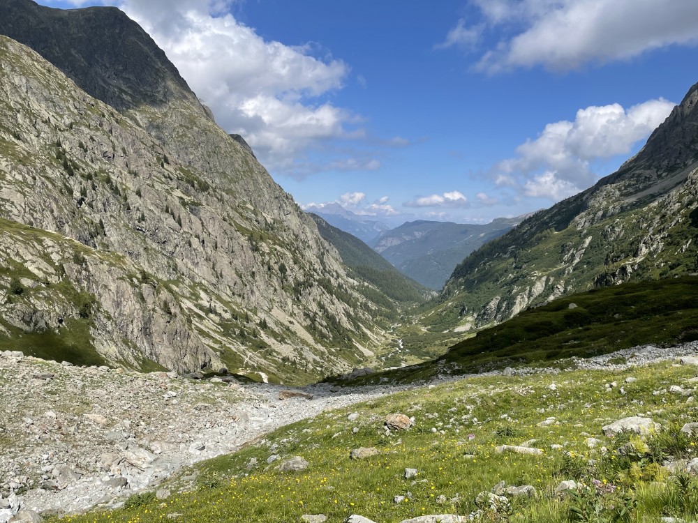
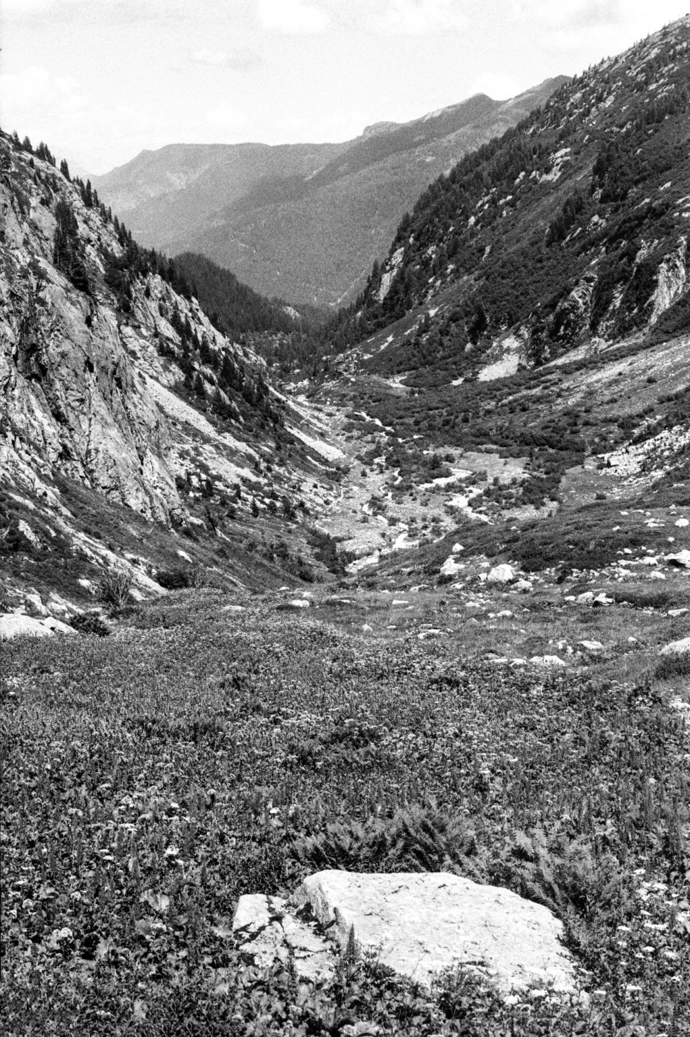
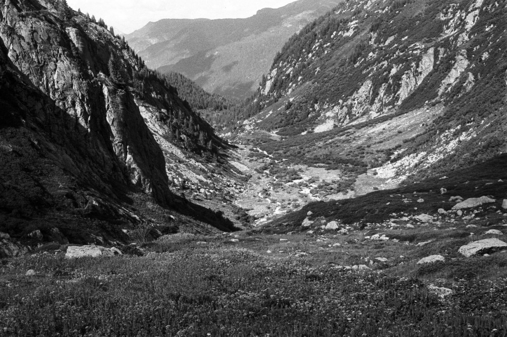
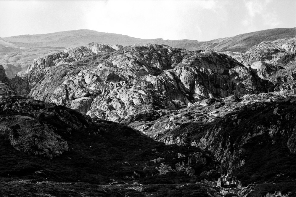
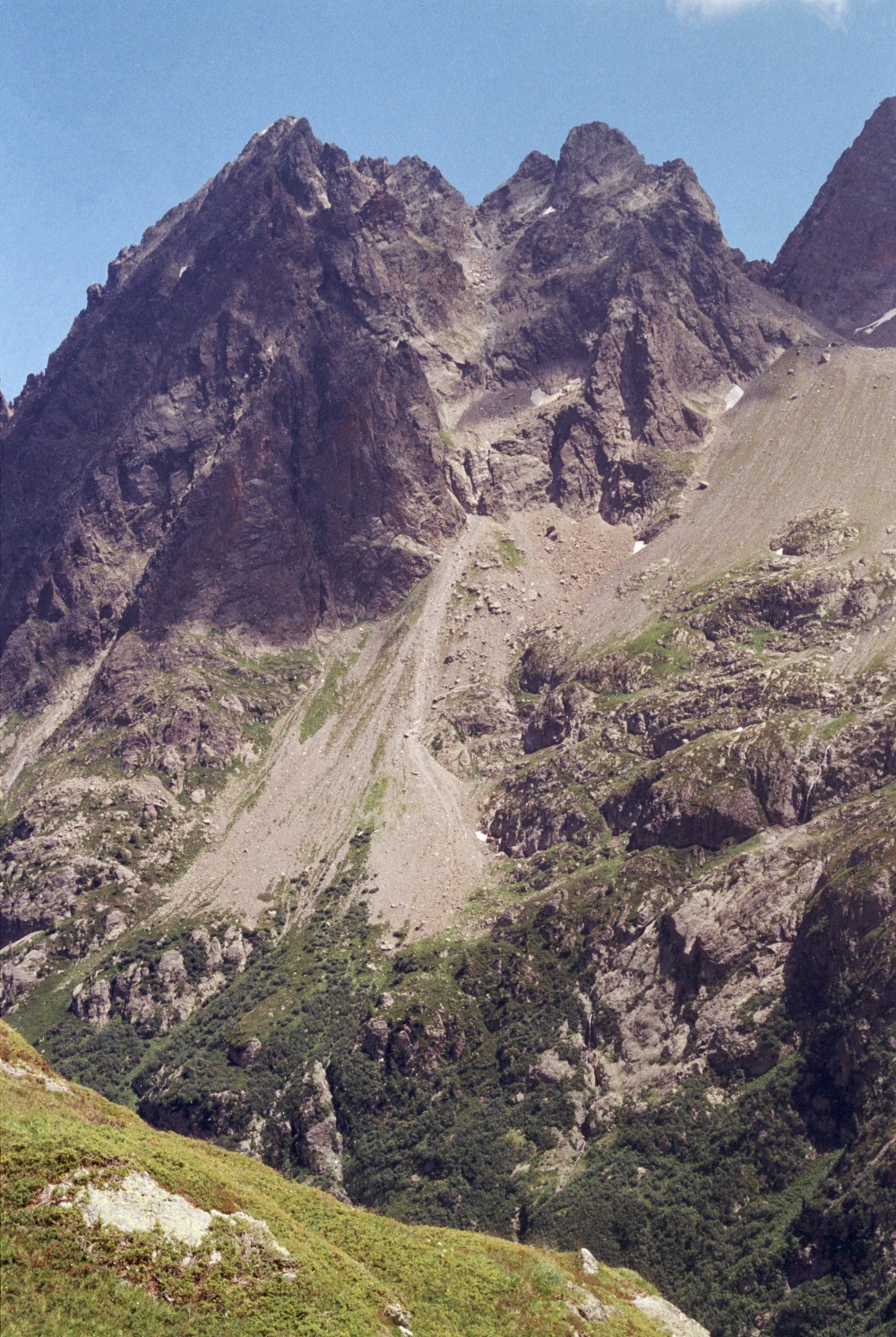
C'est au milieu d'une gorge, entre des rochers & une belle cascade, que nous prîmes notre chemin. Cette eau que j'avois soupçonné depuis longtems venir du glacier du Buët, se nomme l'eau du Berard, du nom de la montagne d'où elle descend. Nous suivimes ses bords pendant plus d'une heure.
Marc-Théodore Bourrit, Description des aspects du Mont-Blanc du côté de la Val-d’Aost (1776), 125.
Nous marchâmes avec courage par la gorge dite le Berard, en remontant le torrent qui en porte le nom : elle est sauvage, surtout dans le haut, ce qui ne la prive pas de verdure, de pâturages, quoiqu’ils soient avoisinés des débris des montagnes.
Marc-Théodore Bourrit, Itinéraire de Genève, des glaciers de Chamouni, du Valais et du canton de Vaud (1808), 107.
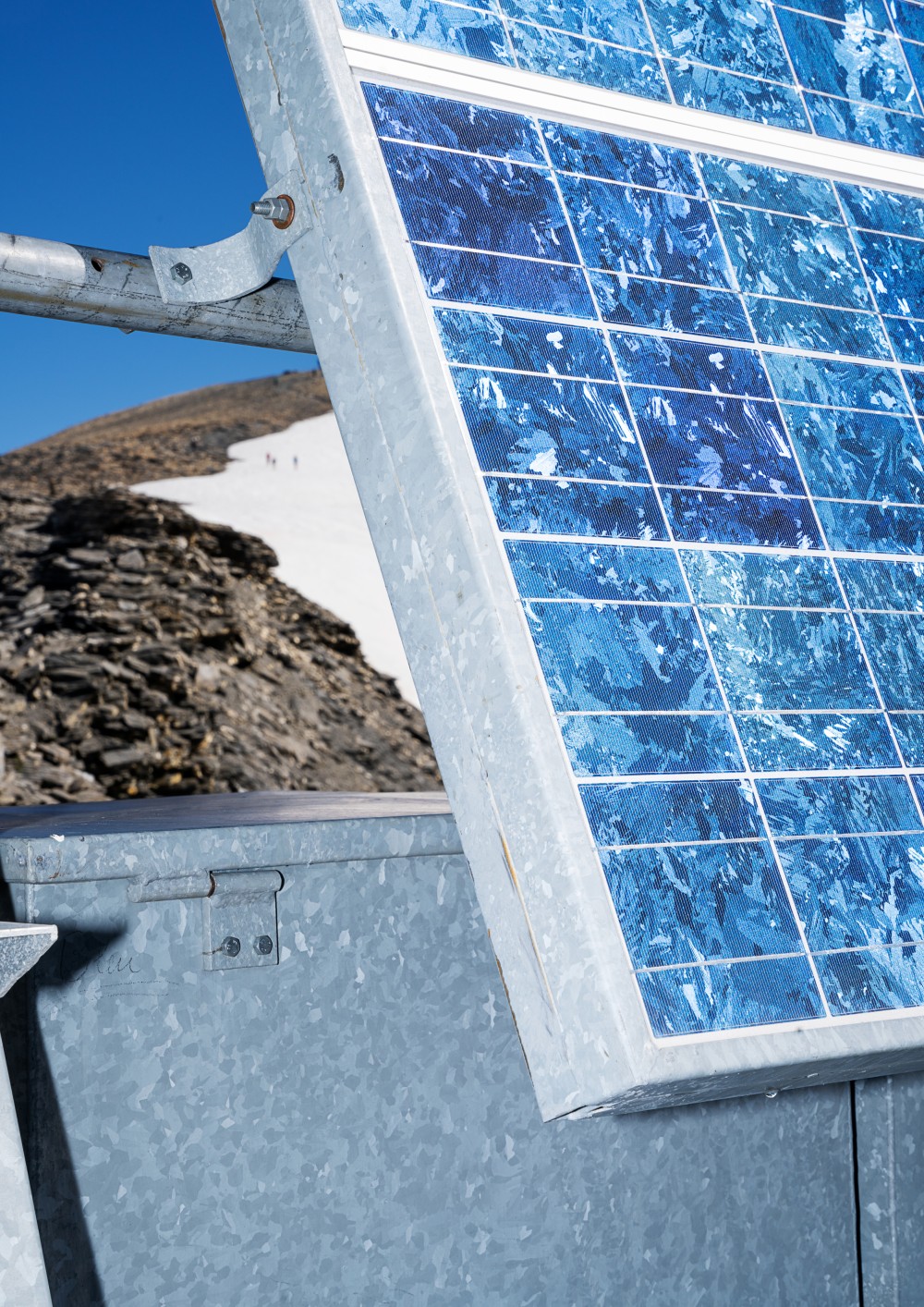
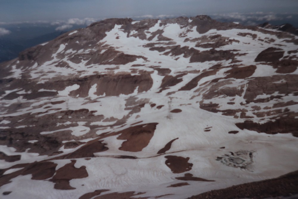
Altitude
1435m
Type de média
Texte
Tags
Livre
Date
09.1775
Itinéraire(s)
Sud
Expedition
Expédition de Bourrit


Aiguilles
Aquarelle et encre de Chine sur papeir
30x40cm
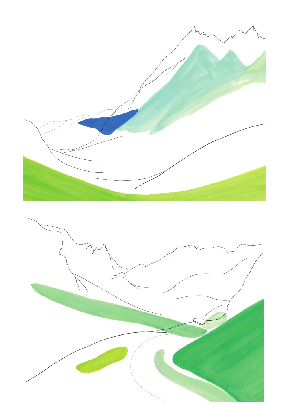
Vallon, col et aiguille de Bérard
Aquarelle et encre de Chine sur papeir
30x40cm
Altitude
1714m
Type de média
Dessin
Tags
Paysage
Date
27.08.2021
Itinéraire(s)
Sud
Expedition
Reconstitution de l'EPFL
Credits
Pascale Favre


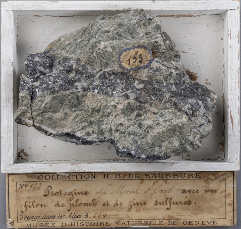
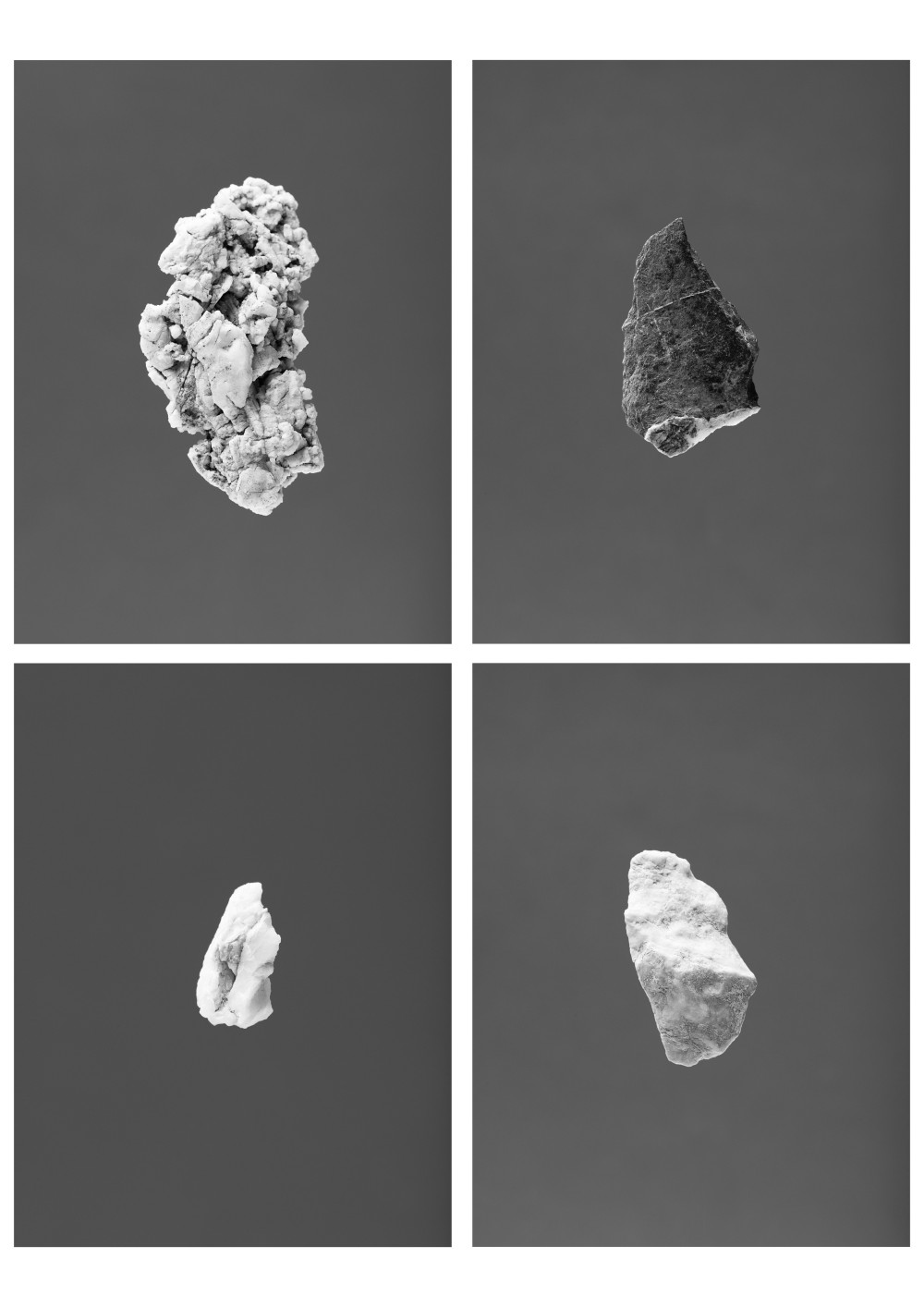
Protogine du Mont Oreb avec un filon de plomb et de zinc sulfurés. Échantillon de la Collection de roches d'Horace Bénédict de Saussure.
Crédits : Muséum d'histoire naturelle de Genève
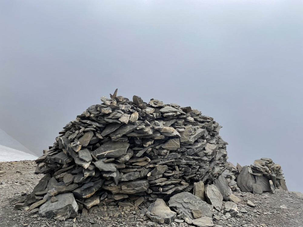
Altitude
2103m
Type de média
Photo
Tags
Pierre
Date
1776
Itinéraire(s)
Sud
Expedition
Expédition de Saussure
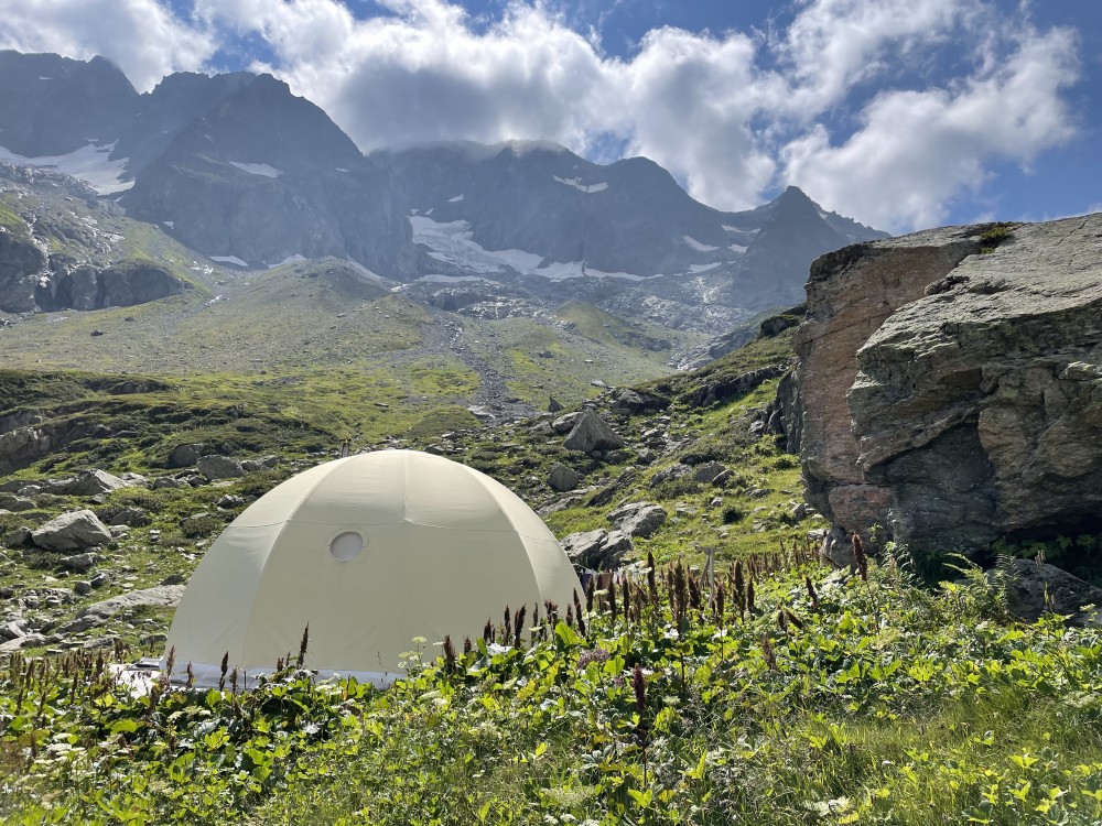
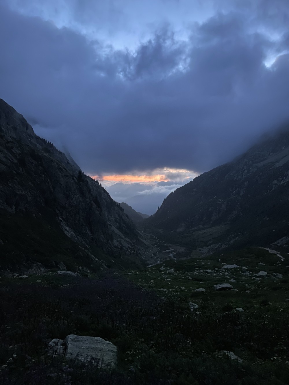
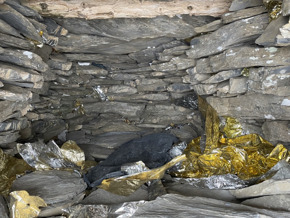
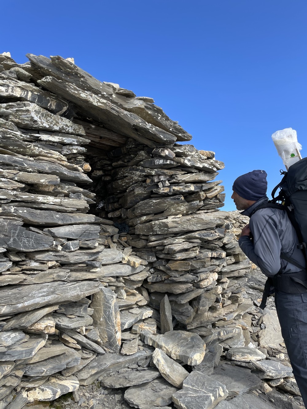
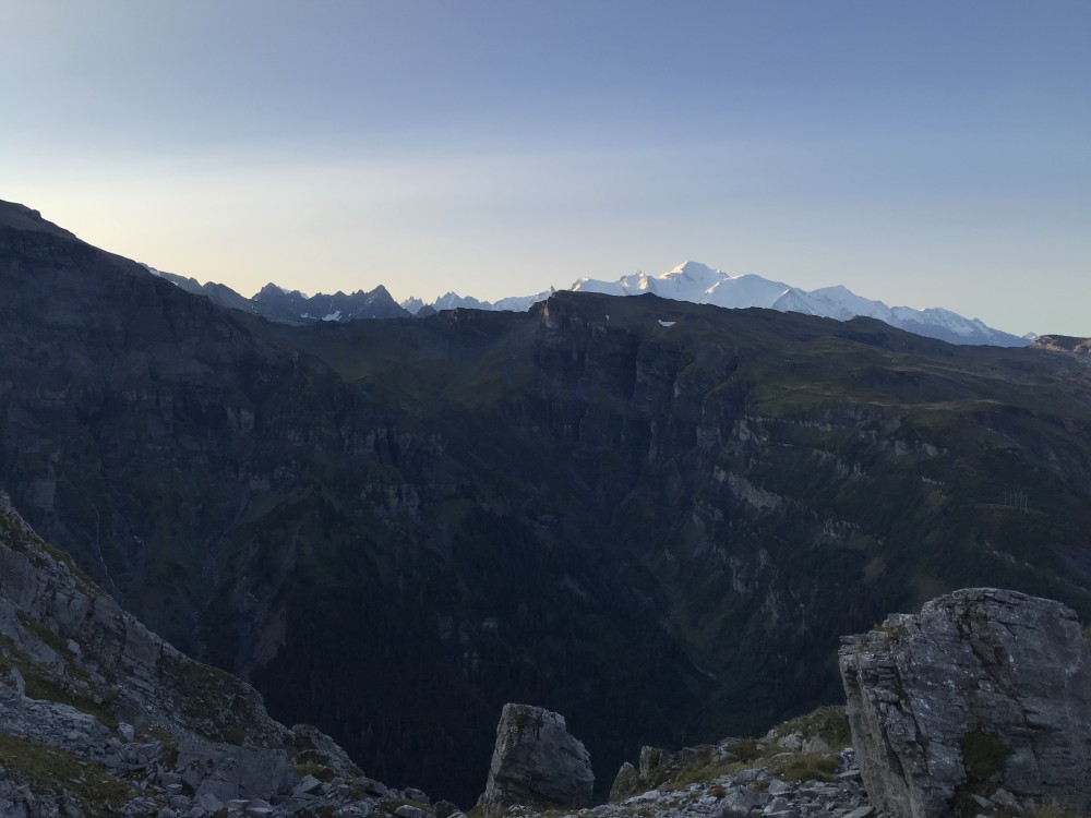
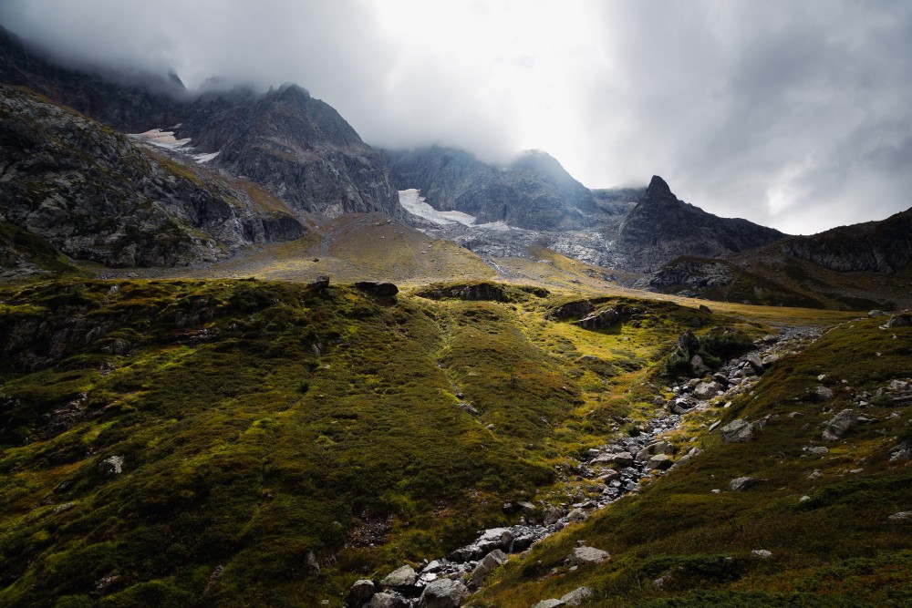
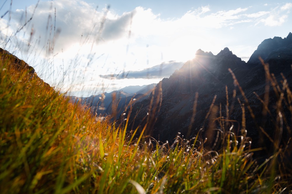
Escapade au-dessus du refuge de la Pierre à Bérard juste avant que le soleil ne passe derrière la montagne

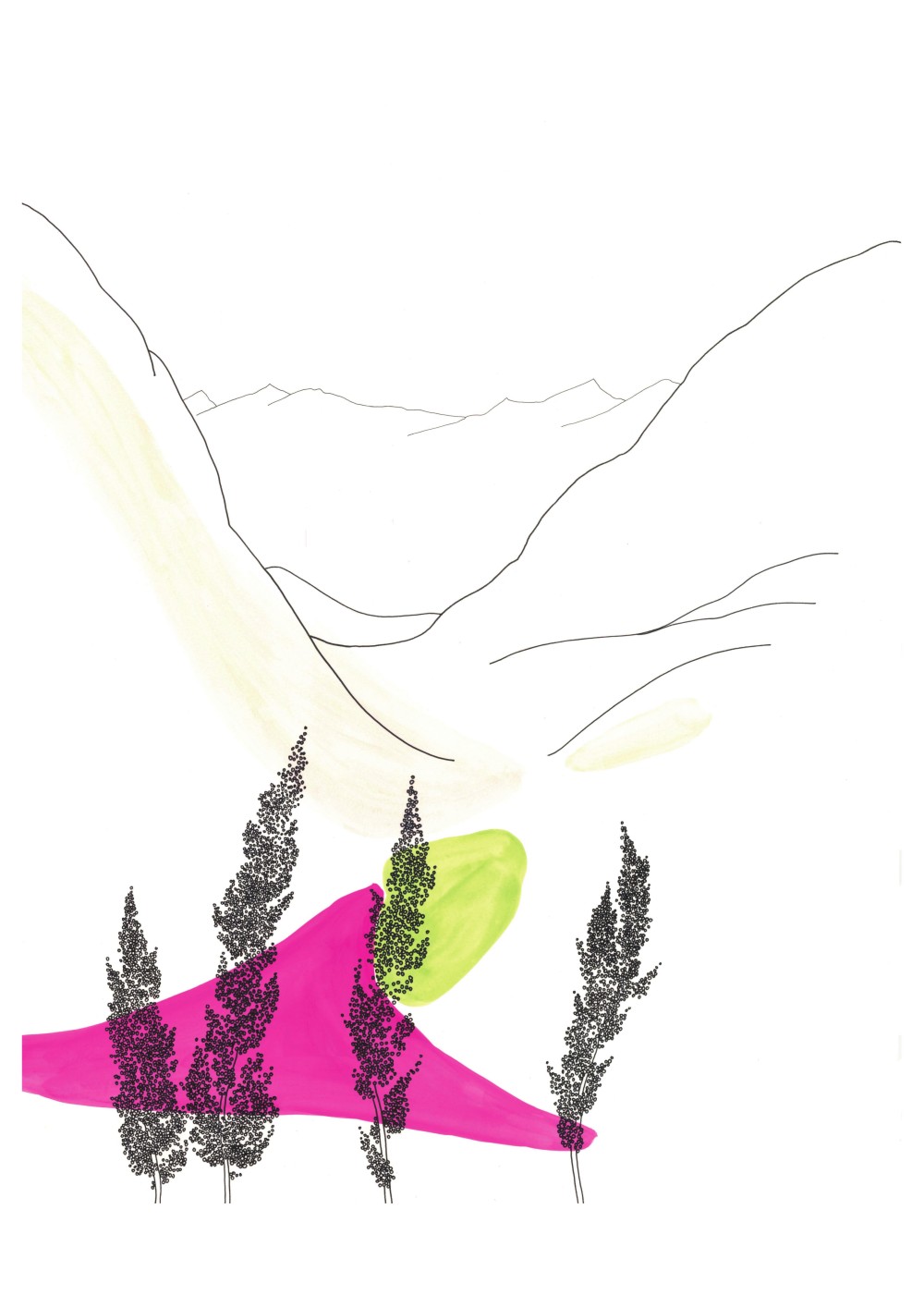
Rumex aplin devant le col de Beugeant
Aquarelle et encre de Chine sur papier
30x40cm
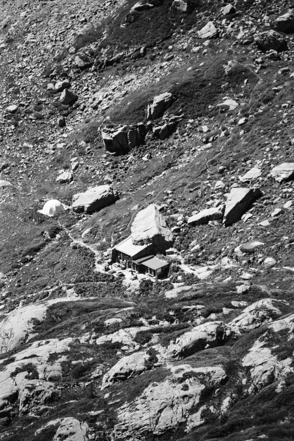
Autour du refuge de la Pierre à Bérard
Aquarelle et encre de Chine sur papier
30x40cm
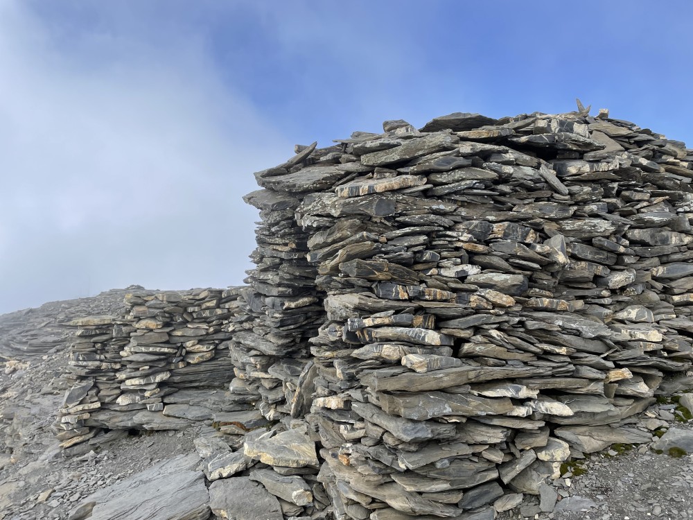
Altitude
2122m
Type de média
Dessin
Tags
Paysage, Fleur
Date
27.08.2021
Itinéraire(s)
Sud
Expedition
Reconstitution de l'EPFL
Credits
Pascale Favre


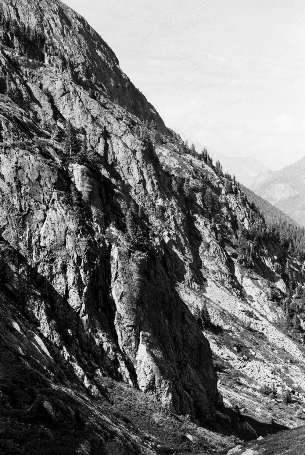
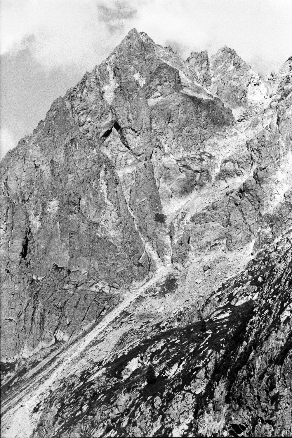
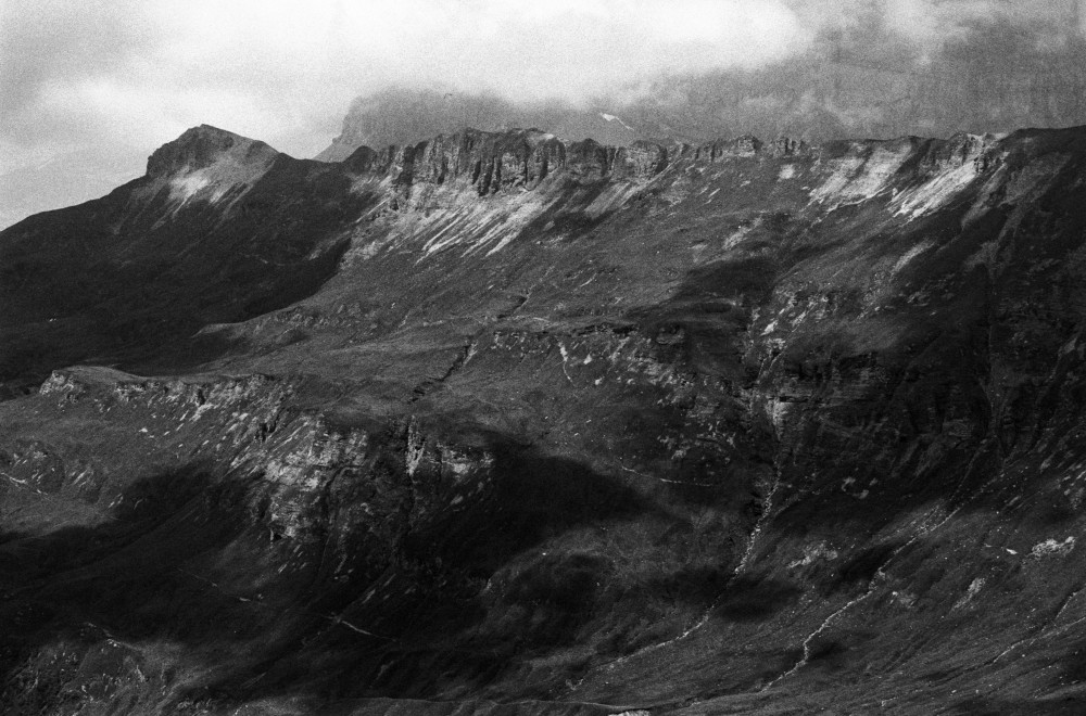
Après deux heures d'une marche continue , mais pas trop accélérée, nous arrivons au pied d'un rocher, dont la base présente des sieges naturels, qui semblent inviter le voyageur à s’y reposer. M. Bourrit, qui y dîna dans son premier voyage, lui a laissé son nom; les guides nomment cet endroit la Table au Chantre [après Bourrit qui était chantre à la cathédrale de Genève]. Ces rochers sont encore des mêmes Granits veinés.
Horace Bénédict Saussure, Voyages dans les Alpes (1779), I, 478.
Altitude
2576m
Type de média
Texte
Tags
Vie sociale
Date
13.07.1778
Itinéraire(s)
Sud
Expedition
Expédition de Saussure


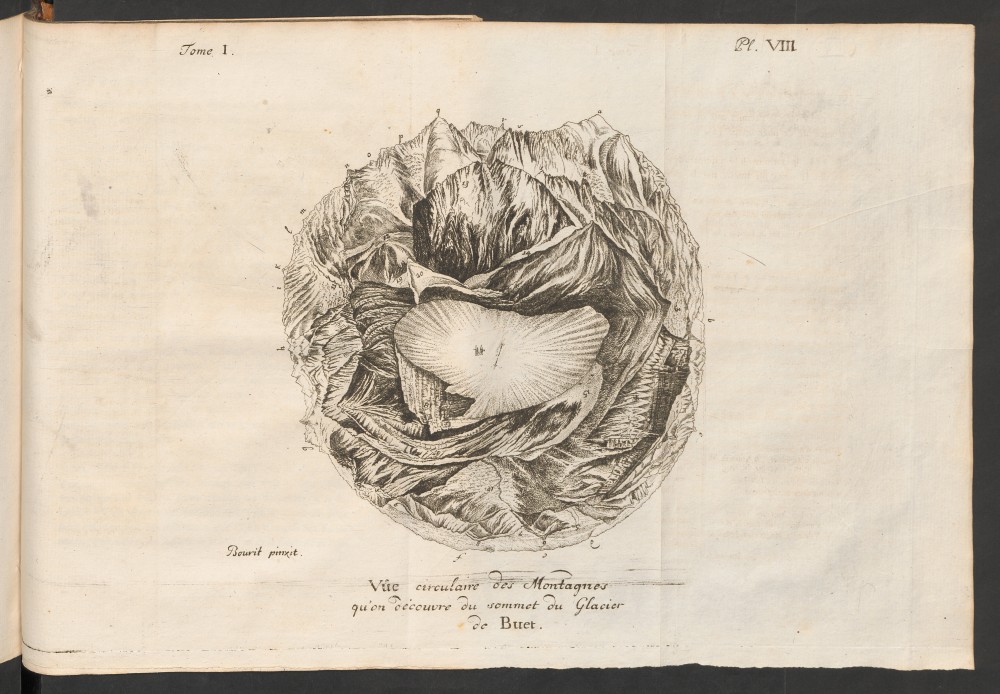


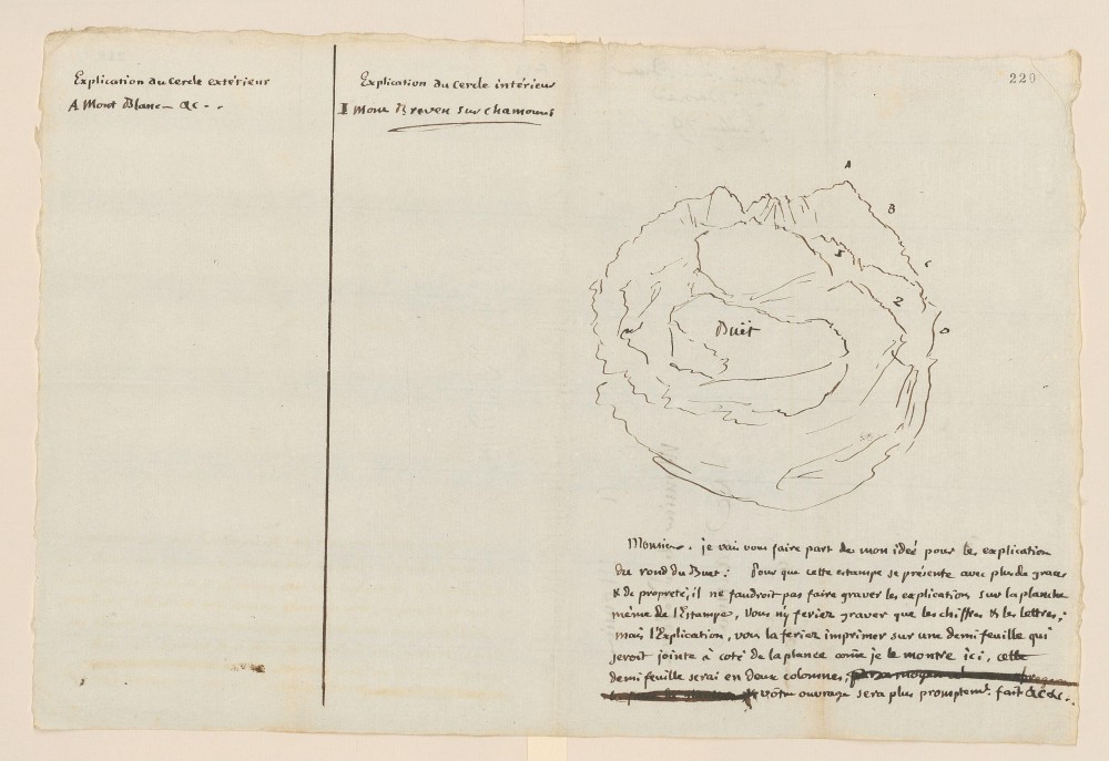


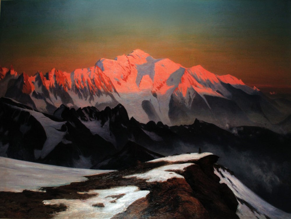
Cette planche a été destinée à donner une idée de la vue des montagnes que l’on découvre de la cime du Buet. Le spectateur est censé placé au centre de la figure, & tous les objets sont dessinés en perspective autour de ce centre, comme ils se présentent à un œil situé dans ce même centre, & qui fait successivement le tour de tout son horizon. [...]
Suivant la méthode que j’ai employée, le Dessinateur peint les objets exactement comme il les voit, en tournant son papier à mesure qu’il se tourne lui-même, Et ceux qui d’après son ouvrage, veulent se former une idée des objets qu’il a dessinés, n’ont qu’à se figurer qu’ils sont placés au centre du dessin, agrandir par l’imagination ce qu’ils voyent au dessus de ce centre, & faire, en tournant le dessin, la revue de toutes ses parties. Ils voyent ainsi successivement tous les objets liés entr’eux, & absoument tels qu’ils se présentent à un Observateur situé sur le sommet de la montagne.
Mon projet avoit même été d’assujettir cette espèce de dessin, à une exactitude presque géométrique. Je voulais que le Dessinateur commençât par tracer sur son paper un grand cercle, auquel il donnât le nom de cercle horizontal; qu’il plaçât sur la circonférence de ce cercle, tous les points visibles qui seroient exactement au niveau de son œil; qu’il dessinât en dehors de ce cercle les objets situés au dessus de son horizon; & au dedans, tous ceux qui seroient au dessous de ce même horizon.
Horace Bénédict Saussure, Voyages dans les Alpes (1779), I, 496-498.
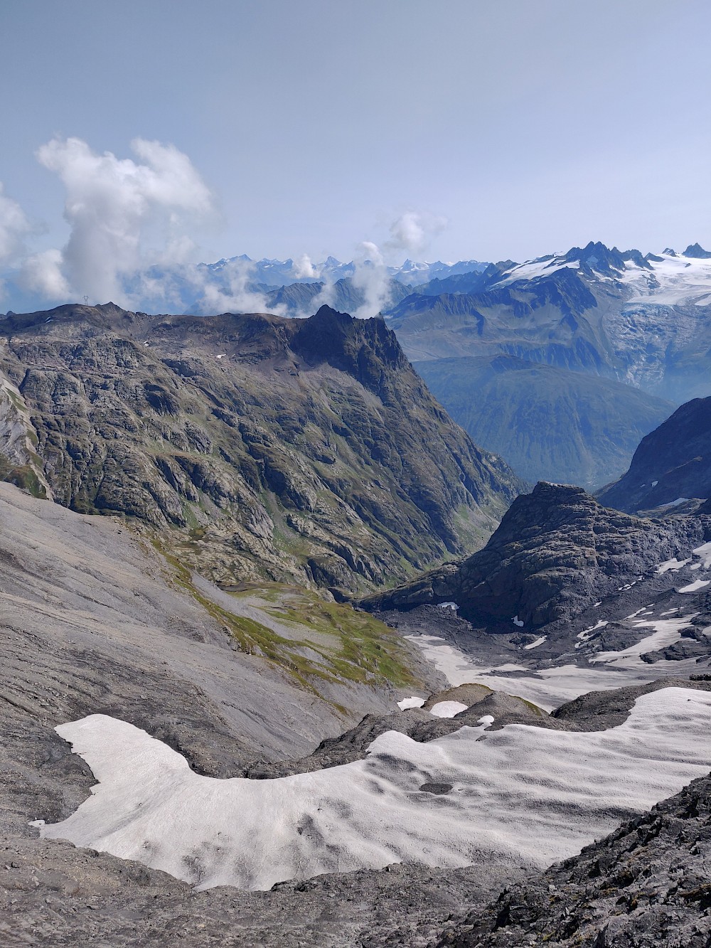
Altitude
3096m
Type de média
Texte
Tags
Panorama, Livre, Vie sociale
Date
1779
Itinéraire(s)
Sud
Expedition
Expédition de Saussure


Hans Conrad Escher von der Linth
Vers 1790–1810
Aquarelle et plume sur papier vergé 21,2×18,5 cm
Graphische Sammlung ETH Zurich
Altitude
3096m
Type de média
Dessin
Tags
Panorama
Date
1800
Itinéraire(s)
Sud
Expedition
Expéditions publiques
Credits
Hans Conrad Escher von der Linth


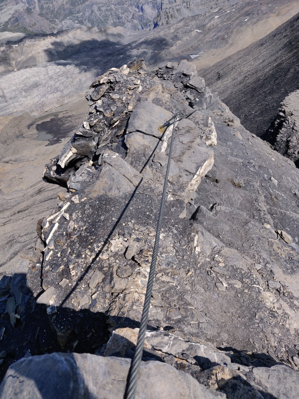
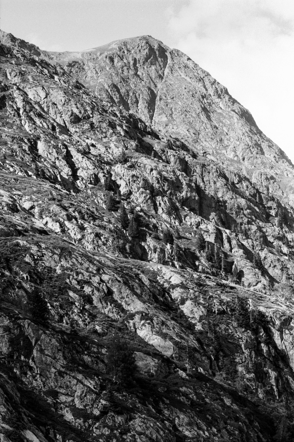
Nous montâmes pendant près de quatre heures, par des routes où nous fûmes souvent obligé de nous aider de nos mains, & souvent aussi d'user de précaution lorsque nous voulions regarder en-arriere. Cependant l'impatience de voir ce que ces rochers nous cachoient, nous aidant, à surmonter ces obstacles, nous arrivâmes enfin à leur sommet. Mais quelle fut notre surprise & notre chagrin, lorsque nous nous vîmes au haut du plus terrible des précipices, par lequel nous nous trouvâmes séparés de cette sommité que nous cherchions!
Nous restâmes long-temps immobiles d'admiration autant que d'effroi. Le Mont Blanc se présentoit à nos yeux dans toute sa majesté; je ne dis pas trop, c’est l'expression qu'il inspire. Le précipice même qui arrêtoit notre course, étoit majestueux. Qu'on se figure une profondeur de plus de 4000 pieds, entourée de rochers à pic, & dans laquelle il sembloit que quelques pas en-avant alloient nous précipiter : cette idée ne peut qu'être effrayante ; mais les yeux, après s'être arrêtés sur ces rochers avec effroi, se reposoient agréablement au fond du précipice. Un pâturage riánt, parsemé de granges & entouré de bois, adoucissoit l'horreur de ces lieux, dont les cascades qui s'y précipitoient de toute part du haut des rochers, troubloient seules le silence ; les mugissements des troupeaux ne pouvoient parvenir jusqu'à nous. Quand nous pûmes nous occuper d'autre chose que d'objets si nouveaux pour nous, quoique accoutumés aux montagnes, nous montrâmes avec dépit à nos guides, la sommité où nous voulions aller : mais il n'étoit plus temps. La moitié du jour étoit déja écoulée & quoiqu'il nous parât qu'en tournant le précipice par la gauche, nous pourrions y parvenir, l'entreprise étoit trop longue & trop hasardeuse pour ce qui nous restoit de jour.
Jean-André Deluc, Recherches sur les modifications de l’atmosphère (1772), II, 297.
Altitude
2502m
Type de média
Texte
Tags
Paysage, Livre
Date
25.08.1765
Itinéraire(s)
Nord
Expedition
Expédition des frères Deluc


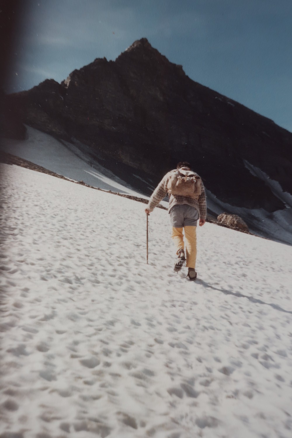


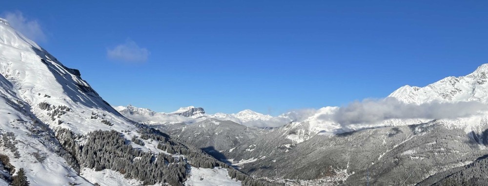
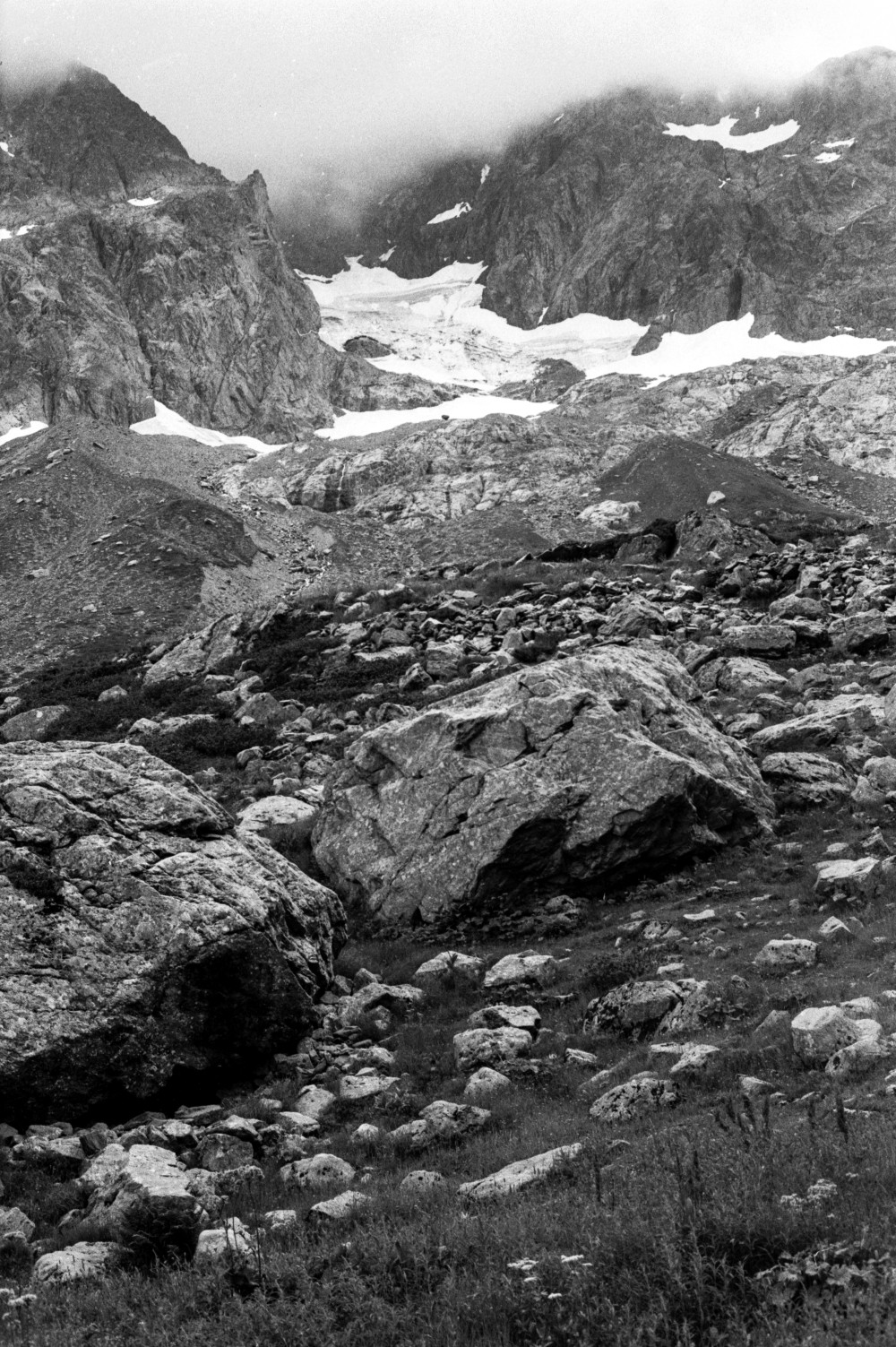
L'ascension (versant Grenairon) du Buet par l'enfant que j'étais fut une épiphanie de laquelle découla une passion alpine durable. L'enneigement du Plan ou de la Combe, en ce 21 juillet 1985, réclamait crampons & piolet (loués pour l'occasion)...
Altitude
2771m
Type de média
Photo
Tags
Paysage, Humain, Neige
Date
21.07.1985
Itinéraire(s)
Nord
Expedition
Expéditions publiques
Credits
Guillaume Tarche


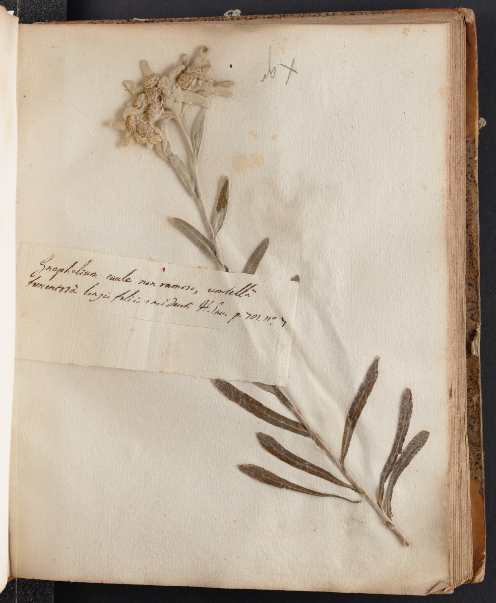
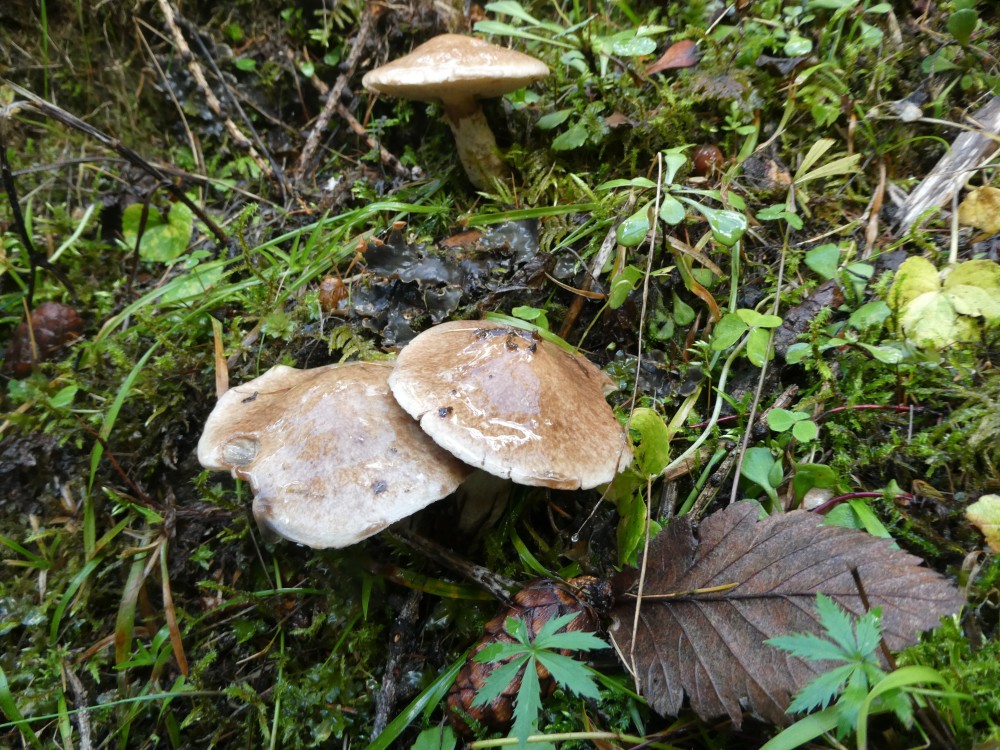
Doronic calcifuge (Doronicum clusii); Linaigrette de Scheuchzer (eriophorum scheuchzeri); Saussurée des Alpes (saussurea alpina); Edelweiss (Leontopodium alpinum).
Altitude
814m
Type de média
Photo
Tags
Fleur
Date
1779
Itinéraire(s)
/
Expedition
Expédition de Saussure
Credits
Conservatoire et jardin botaniques de Genève


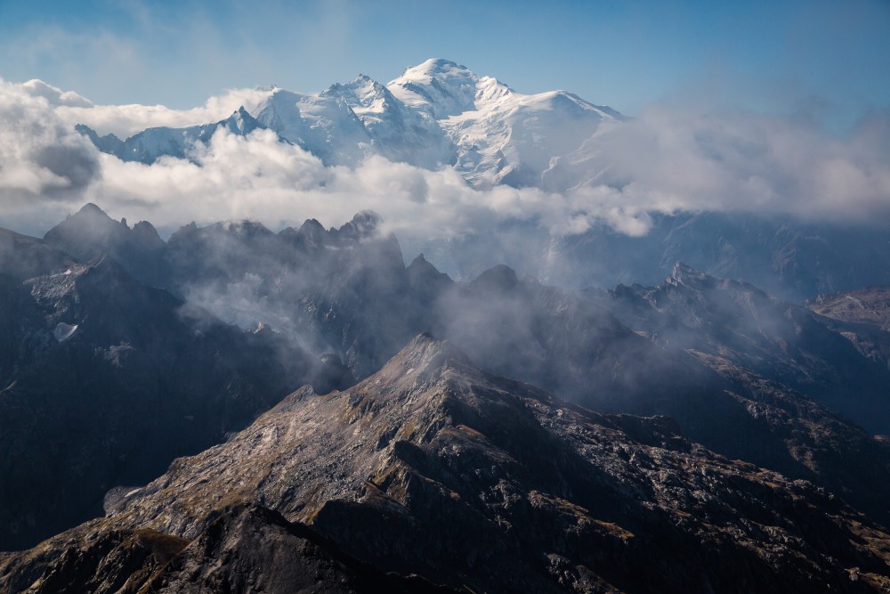

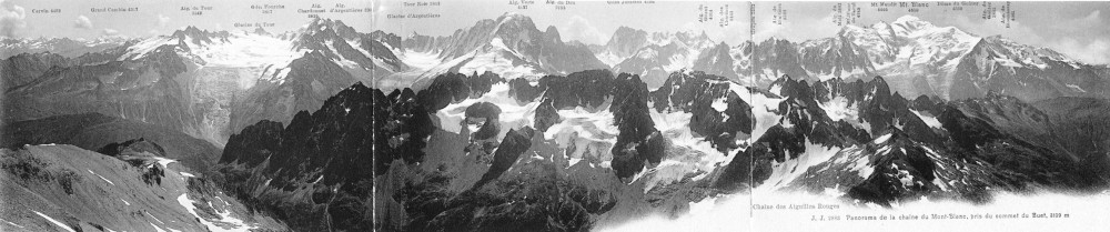
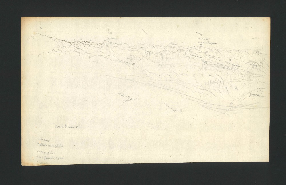
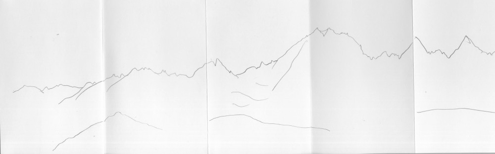
Le mont Blanc et la chaîne des Aiguilles Rouges. Vue prise du sommet du Buet (Dépt de la Hte Savoie)
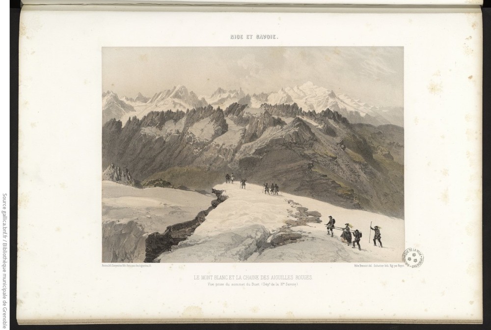
Tiré de
Eyma, Xavier et Dessaix, Joseph, Nice et Savoie, sites pittoresques, monuments, description et histoire des départements de la Savoie, de la Haute-Savoie et des Alpes-Maritimes... réunis à la France en 1860. Partie 2, Paris, H. Charpentier, 1864.
Altitude
3096m
Type de média
Gravure
Tags
Humain, Panorama
Date
1864
Itinéraire(s)
/
Expedition
Expéditions publiques